Two Major BESS Projects Near Completion in Oman: What This Means for Investors and Entrepreneurs
Construction of two large Battery Energy Storage System (BESS) projects at Ibri and Duqm is near completion to strengthen Oman’s
Read More
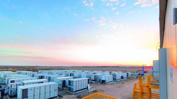
Construction of two large Battery Energy Storage System (BESS) projects at Ibri and Duqm is near completion to strengthen Oman’s
Read More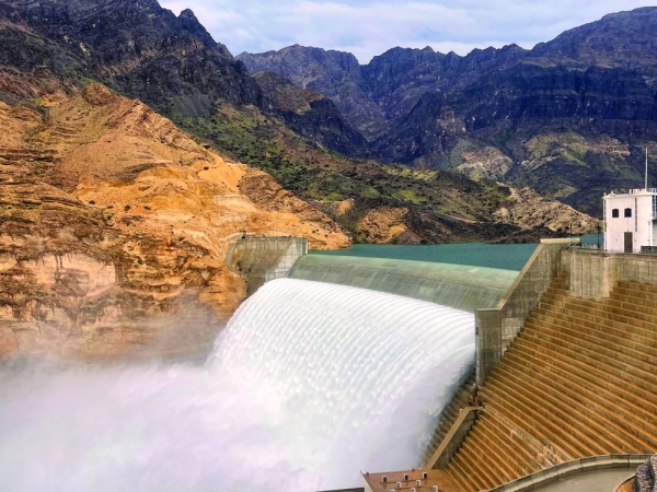
Oman's power sector is evaluating the feasibility of its first Pumped Hydro Energy Storage (PHES) project at Wadi Dayqah Dam.
Read More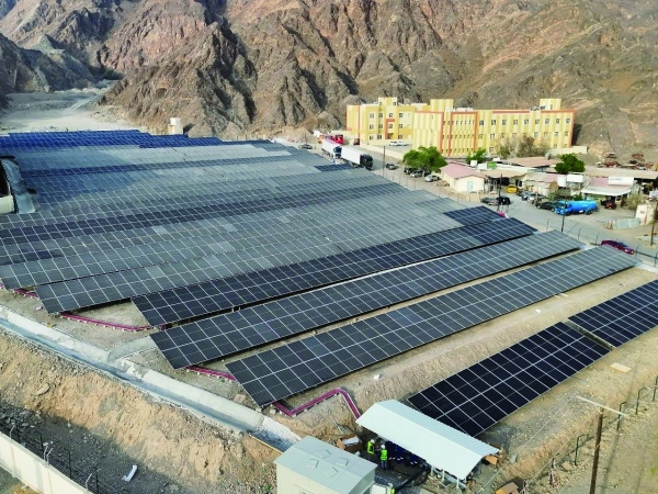
Oman's Imtidad community solar programme is boosting local renewable energy businesses and SMEs by enabling households and firms to buy
Read More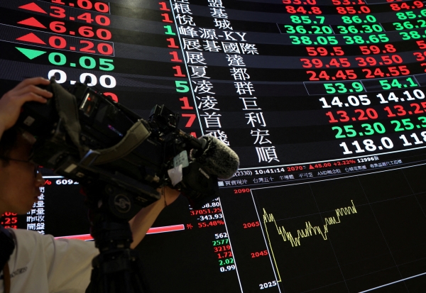
European stocks and U.S. futures rose after the U.S. and Iran agreed to reduce hostilities, easing oil prices. The STOXX
Read More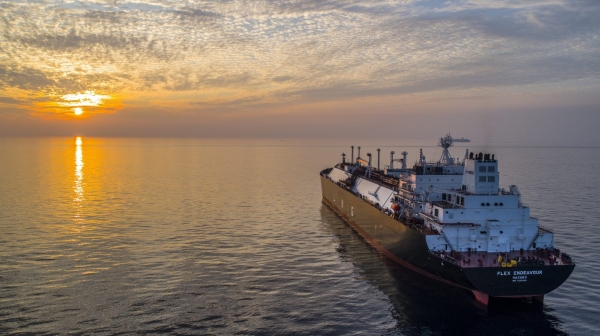
Middle East producers continue loading oil and LNG despite recent ship attacks in the Strait of Hormuz and US-Iran strikes.
Read More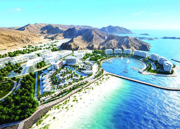
Omran Group is advancing upscale lifestyle destinations in Oman, with multi-billion dollar investments enhancing 33 hospitality properties, 14 tourism complexes,
Read More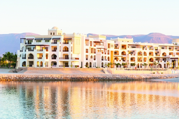
Dhofar Governorate is developing 36 tourism projects, with 23 already under construction, in preparation for the busy Khareef season. The
Read More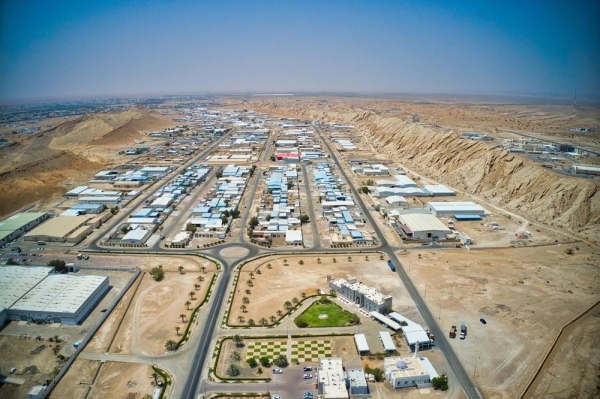
In 2025, Oman’s development financing totaled RO 213.8 million across 7,106 projects, down 9% from the previous year. Industry led
Read More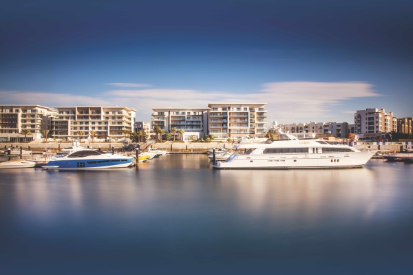
Al Mouj Muscat has contributed RO 878 million to Oman's GDP over 20 years, generating RO 1 billion in revenue
Read More
Electric trucks are revolutionizing Oman's transport sector, offering a sustainable alternative that slashes emissions and operational costs. Oman Flour Mills'
Read More