OPEC+ Meeting Amid Iran Conflict: What It Means for Global Oil Markets and Your Business Investments
OPEC+ ministers meet to consider raising oil production quotas amid soaring prices caused by the Iran war blocking Gulf shipments.
Read More
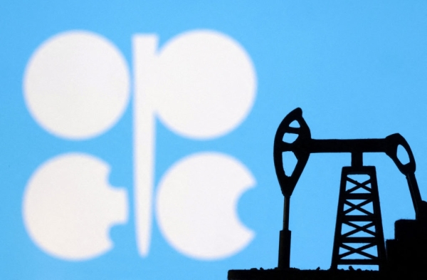
OPEC+ ministers meet to consider raising oil production quotas amid soaring prices caused by the Iran war blocking Gulf shipments.
Read More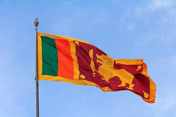
The Democratic Socialist Republic of Sri Lanka will grant free tourist visas to Omani citizens from May 25, 2026. Omanis
Read More
Global SWF praises Oman Investment Authority for boosting state enterprise profitability, recycling assets, and attracting foreign capital aligned with Oman
Read More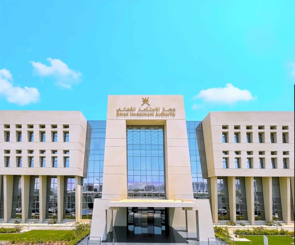
Global SWF confirms the Oman Investment Authority's success in enhancing state-owned enterprises' profitability and attracting foreign capital, aligning with Oman
Read More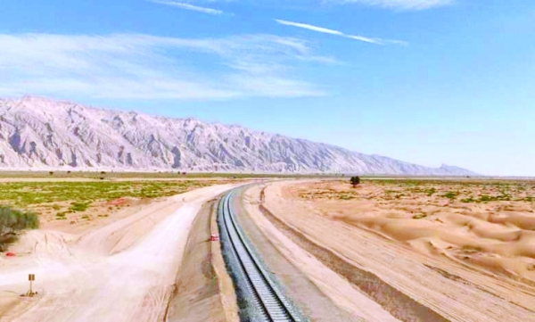
The Hafeet Rail project is advancing with track laying work underway, linking Oman to the UAE. As of April 2026,
Read More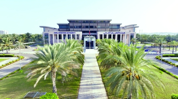
Oman is intensifying efforts to build a sustainable aviation sector through regulatory reforms, emissions reduction, and cleaner technologies. The Civil
Read More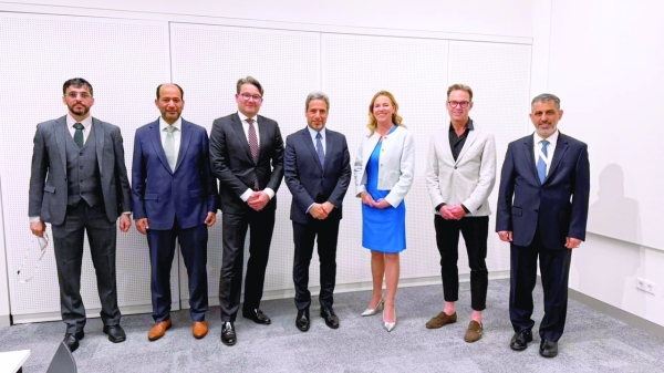
Gasunie, Dutch gas operator, backs Oman in creating a hydrogen trade corridor linking Oman with Northwest Europe. A Joint Development
Read More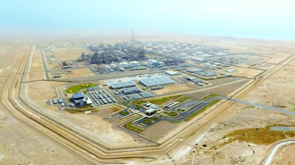
Duqm Refinery reported a strong 2025 with RO 106 million EBITDA, operational optimization, and increased efficiency. It passed key reliability
Read More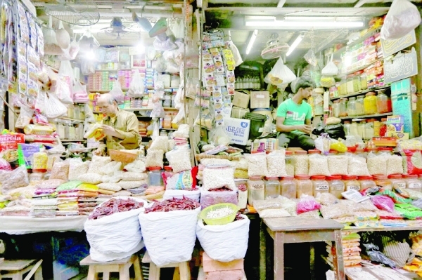
Oman’s Producer Price Index (PPI) fell by 3.9% in Q1 2026, impacted by an 11.3% decline in mining prices due
Read More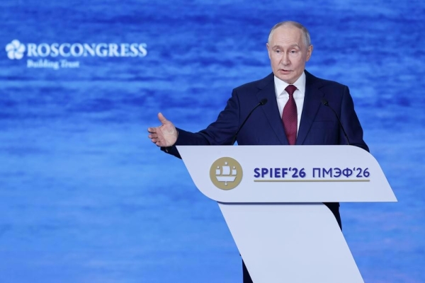
Russian President Vladimir Putin at SPIEF emphasized Russia's readiness for equal cooperation globally, noting shifts in global trade led by
Read More